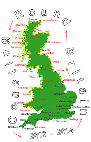
Log No 232. Sat 1st Feb 2014 - Gowerton to Port Eynon, 23 miles (3559 miles walked)

| Marsh Horses |
When the tide is high a lot of the marsh is under water leaving grassy islands and it is a common sight to see the Marsh Horses marooned on them, calmly eating the grass.
The tide here had just peaked and I could see quite a few occupied islands.

| The track at Crofty |
I thought I may have made a bad decision when I came to a flooded section but I did find a dry way through, I got back onto the road at the first opportunity.
There was a small minor road running along the edge of the marsh but with warning digns saying the road is liable to flooding at high tides I stayed inland a bit on the B4295 as far as Llanrhidian.

| Broughton Burrows |
Apart from the wind, which was slowly strengthening, it was supposed to be reasonably dry but I needed my waterproofs on all day as there were frequent heavy showers.
From Llanrhidian it was minor road passing by the ruins of Weobly Castle and onto Llanmadoc where the road finished, then it was through a caravan site to get to the footpath on the sand dunes on Broughton Burrows at the end of the Gower Peninsula.

| Wreck on Rhossili Beach |

| Rhossili Bay |
Worms Head is a tidal island and with the tide being out when I got there I could have clambered over the rocks to go over to it but the wind was far too strong to try.

| Worms Head at low tide |
Turning the corner from the lookout I was expecting the going to be easier with the wind coming on to my side but it was that strong I was having to fight hard to stop being blown onto the barbed wire on the fence and wall.

| The coastline from Worms Head |
Three times in as many minutes I lost my footing on the slippery surface and landed on my backside and slid down the hill a bit, fortunately the path was a good piece away from the cliff edge.
The coastline from Worms Head to Port Eynon was high, rocky cliffs with plenty of character but with the wind and rain, which had come on again, I had to constantly watch where I was placing my feet instead of admiring the view.
The path was not right at the edge of the cliffs and apart from a couple of drops and climbs become much easier to walk on.
I arrived at Port Eynon at 16.40 with 20 minutes to wait for the bus, Dewi met me at the bus stop and took me back to his house for a third night.
The 23 miles in the wind left me feeling quite tired and by the time I got round to thinking about writing up the log all I wanted to do was go to sleep so I put off doing it until next morning.
It had been good meeting up with Dewi after all this time and I had an enjoyable 3 days with his company, his and Hazel's hospitality was much appreciated.